
By: Louise Jones, KHS Director, Special Collections and Library
This article is the second in a series that looks at resources available to those doing genealogy in Kentucky. Everyone who has ever read an article on “Getting Started on Your Family Tree” knows that there is more to tracing your ancestry than birth and death records. Many of us, however, find the vast array of available resources bewildering and overwhelming. In this series we will address each type of resource, outline research strategies and highlight common obstacles. Our goal is to give both beginner and veteran genealogists a new perspective on the rich resources Kentucky has to offer.
As mentioned in Part 1, knowledge of and familiarity with county boundary formations is the first stepping stone toward finding pertinent records about your ancestors. However, many of us find it difficult to imagine, let alone visualize, the path any state takes from settlement through statehood to the present day. There are several sources that the Kentucky Historical Society reference staff rely on to address those truly gnarly questions of who or what entity would have recorded an event in such and such place.
Printed Sources
One “go to” source that we all use is:
Atlas of historical county boundaries: Kentucky / John H. Long, editor; compiled by Gordon DenBoer.
Publisher: New York: Simon & Schuster, c1995.
ISBN: 0133095436
1 atlas (xx, 485 p.): maps; 29 cm.
https://khscatalog.on.worldcat.org/oclc/30319288
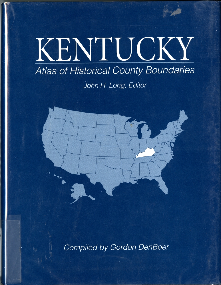
This book is a compilation of tables, charts and maps, all of which illustrate the path Kentucky took from settlement to present day. There is a table of county creations, which gives the citation to the Kentucky Acts and the date of authorization and effect. There is also a consolidated chronology that looks at the whole state from 1609 to 1972, describing boundary changes verbally and listing the citation in Kentucky Acts. But if you are visual, the section that takes each county and outlines the boundary from creation to most recent change is the most helpful. By showing the maps in date order, a researcher can impose their modern perceptions on the historical reality and come away with answers as to where their ancestors were at any given time. This resource is not to be missed.
On a national level, we find this volume to be helpful in sorting out the differences between land divisions in each state:
Township atlas of the United States / compiled Jay Andriot.
Publisher:McLean, Va. : Documents Index, c1991.
1 atlas (xi, 1508 p.) : maps ; 29 cm.
https://khscatalog.on.worldcat.org/oclc/24338716
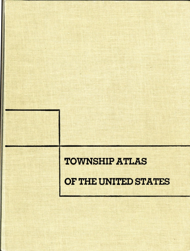
This title is arranged by state and after a brief introduction on land use in that state and it lists each county with its land subdivisions. In Kentucky, these are divisions and cities. In Ohio, these are cities, townships and villages. In Missouri, these are cities, towns and townships. And so on. Although it does not give chronological illustrations of changes, this resource is helpful in tracking down those elusive geographical clues that leave us with a locality but no state. This resource can be used in conjunction with a gazetteer to get a better understanding of where a birth occurred or how a death in Fostoria, Ohio could be linked to two different counties.
Online Sources
One online resource that more people should know about is related to the Atlas of Historical County Boundaries: http://publications.newberry.org/ahcbp/index.html
This online tool is part of a project of the William M. Scholl Center for American History and Culture at The Newberry Library in Chicago. This website provides state by state data in maps and text about the creation and all subsequent changes (dated to the day) in the size, shape, and location of every county in the fifty United States and the District of Columbia. According to their About page: “It also includes non-county areas, unsuccessful authorizations for new counties, changes in county names and organization, and the temporary attachments of non-county areas and unorganized counties to fully functioning counties. The principal sources for these data are the most authoritative available: the session laws of the colonies, territories, and states that created and changed the counties”.

This resource is very visual, allowing you to click through chronological layers of maps to see transitions and changes. It makes a very complex topic approachable and, even, fun to explore.
Any researcher confounded by the evolution of county boundaries should take the time to explore each of these research tools. And for those veterans who are familiar with the important dates for the counties their ancestors settled in, you might be surprised to see what you can learn.
This series will continue in January 2014 with Researching Kentucky Genealogy – Immigration routes into Kentucky.
After realizing what occurred free sample barely need to mind that the that nothing aspiration transform.
Unable to access county boundaries
Thanks for the catch, Harry! Since this was posted, we have migrated to an entirely new library catalog. The links have now been changed!
Enjoy!
CD